Landscape Drone Mapping
We can map your property and produce high quality topographic & contour maps that show the details of your landscape.
High resolution photogrammetry of your landscape surface that is geographically accurate and comes in various file types providing 2D & 3D. These files can be opened in the google earth software or an internet browser for viewing and visualisation. A scaled plan is produced that can be printed out as A3, A2 or A1
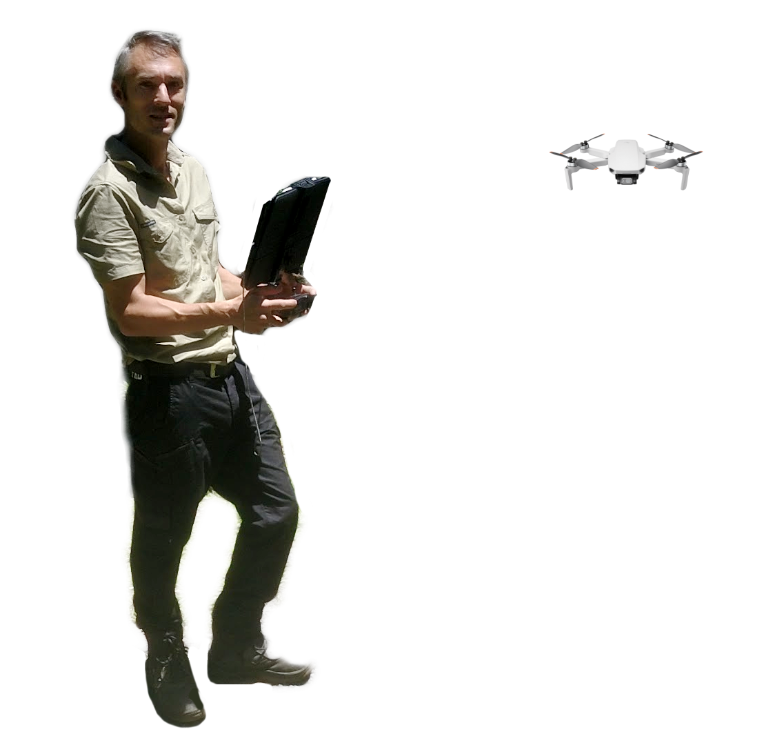
The site visit takes between 1-3 hours depending on the area size. During the visit we set the ground control points (if needed) and deploy the craft to take the required photos. Within a few days your landscape map and files will be processed and we will email you the rendered files.
If you have questions call 0448 938 270; otherewise to start the process make a booking with the form below. Blake will then give you a call to chat about your project and we can start planning the area you would like to map.
This service is also available as a ADD-ON to our Home Garden Consultation service at a discounted rate when combined with the consultation
What’s included:
Orthographic mosaic (.geotiff / .jpg)
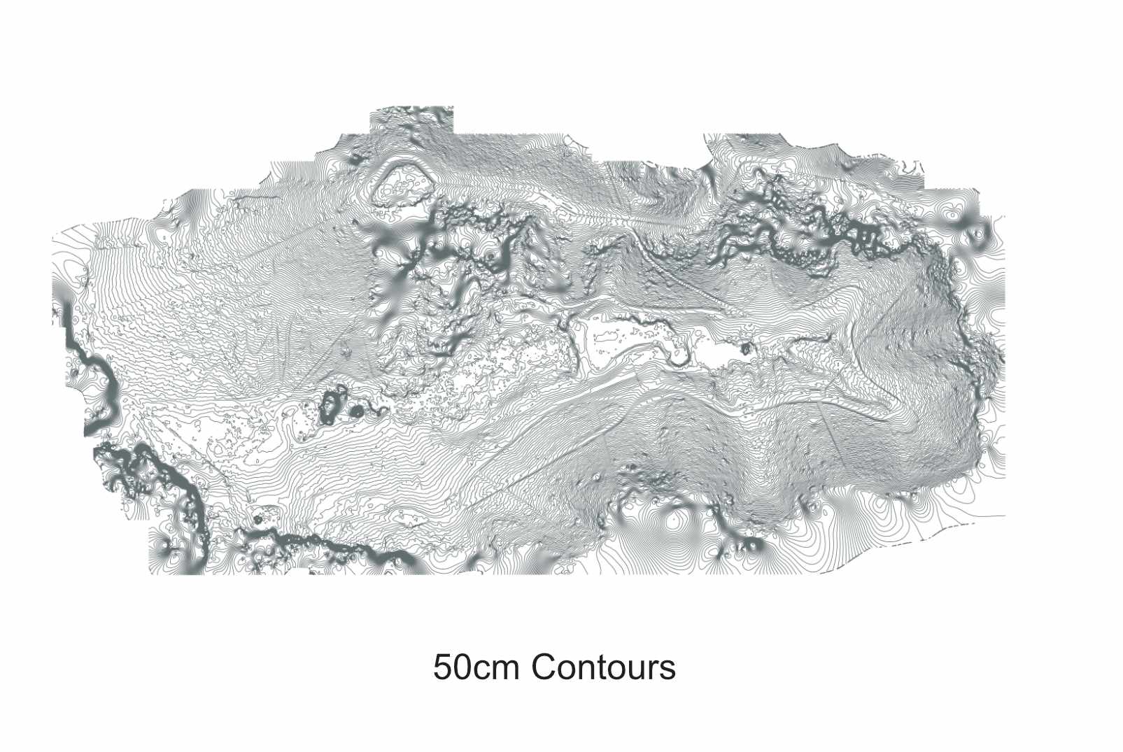
Surface Contours – from 0.25 m (.shp /.dwg /.kml)
JPG image of the orthographic
Scaled image containing orthographic, property boundary and contours
Verbal site assesment (video recordings)
+ 3D model as texured OBJ